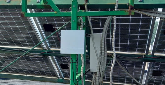
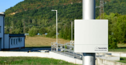
Continuous monitoring of water resources for real time identification of flood risks drying or pollution
On the territory of the municipality of Gabrovo there are 7 dams and 2 lakes, as well as a river crossing the city. As a semi-mountainous region with a distinct nature and environment, it is important for the authorities to monitor water resources in order to take timely measures in the event of water pollution or flood risks.
The Yantra River flows through the town of Gabrovo, passing through the central part of the city, neighborhoods of the city and the northern industrial zone. It is formed by tributaries of smaller rivers. Over the years, river levels have reached critical levels. Such cases damage the city’s infrastructure, and delayed reactions to inform the population increase the risks to public health. Such scenarios are difficult to predict without an automated real-time monitoring system for water resources in a municipality.